The story
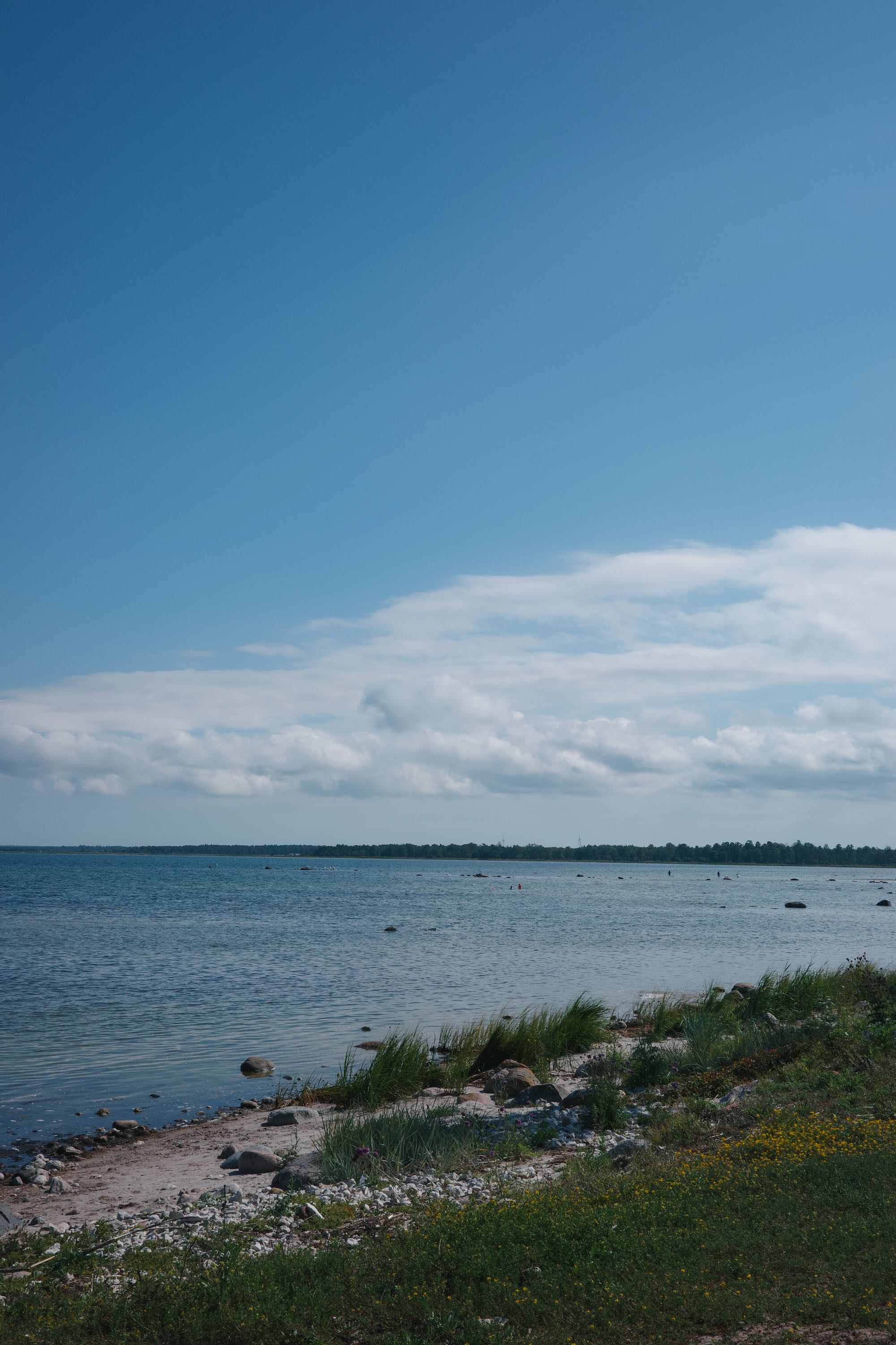
An island that earns its reputation for light
We arrived by ferry from Oskarshamn, bikes strapped to the lower deck, riders resting in the upper deck.
Gotland has a reputation in Sweden as the holiday island, the place where Stockholmers go in summer to eat lamb, drink rosé, and see other Stockholmers. We were not here for that but to discover the island on two wheels.
“The road north out of Visby follows the coast so closely you can hear the Baltic before you see it — a low, continuous sound, like a city in the distance that never arrives.”
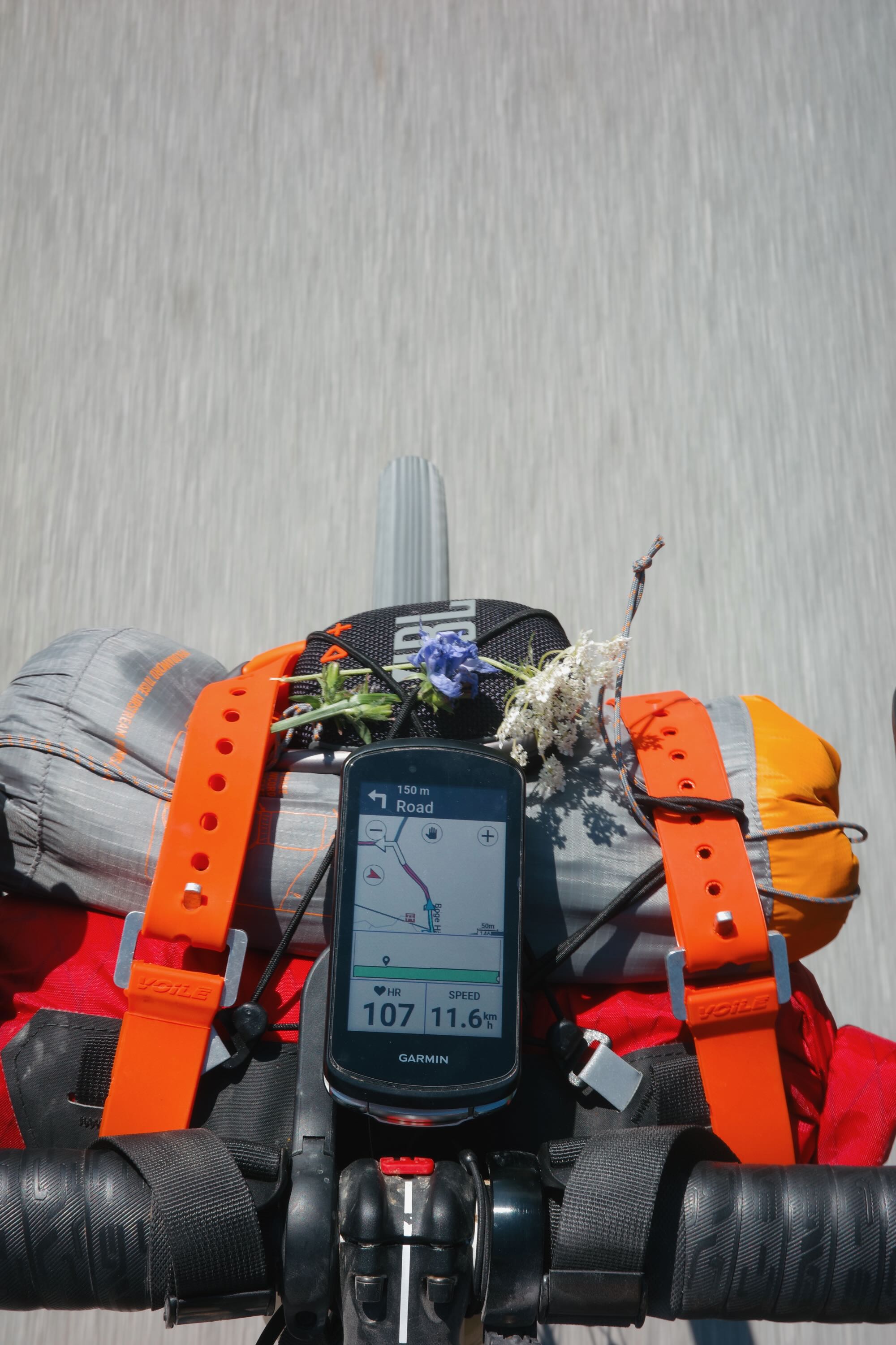
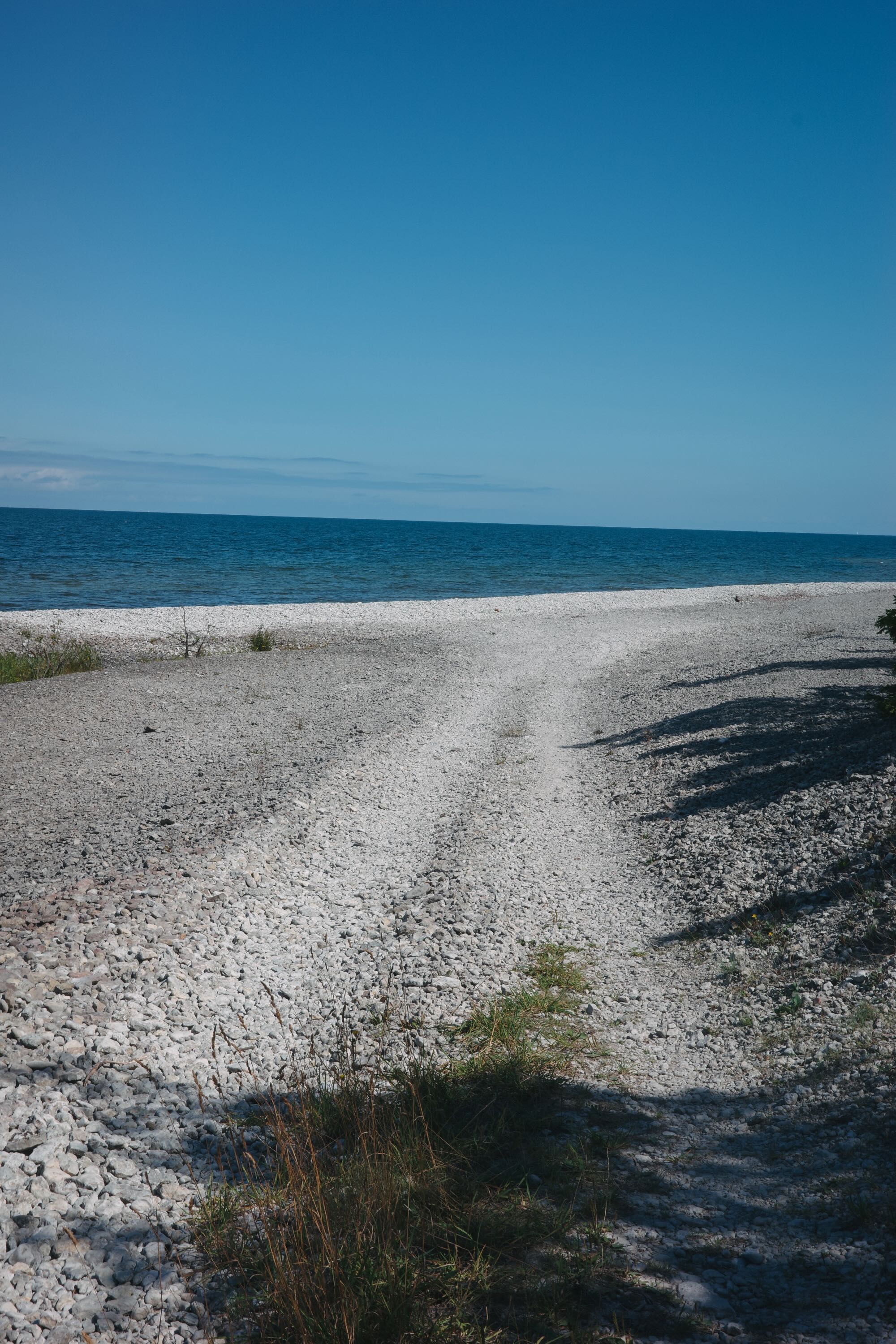
The island’s flatness makes the trip generally pleasant - unless the winds shows up. It is not boring flat, but more like working flat. The kind where you feel the elements never make it easy to roll. Sometimes the chunky gravel, others the wavy coastline.
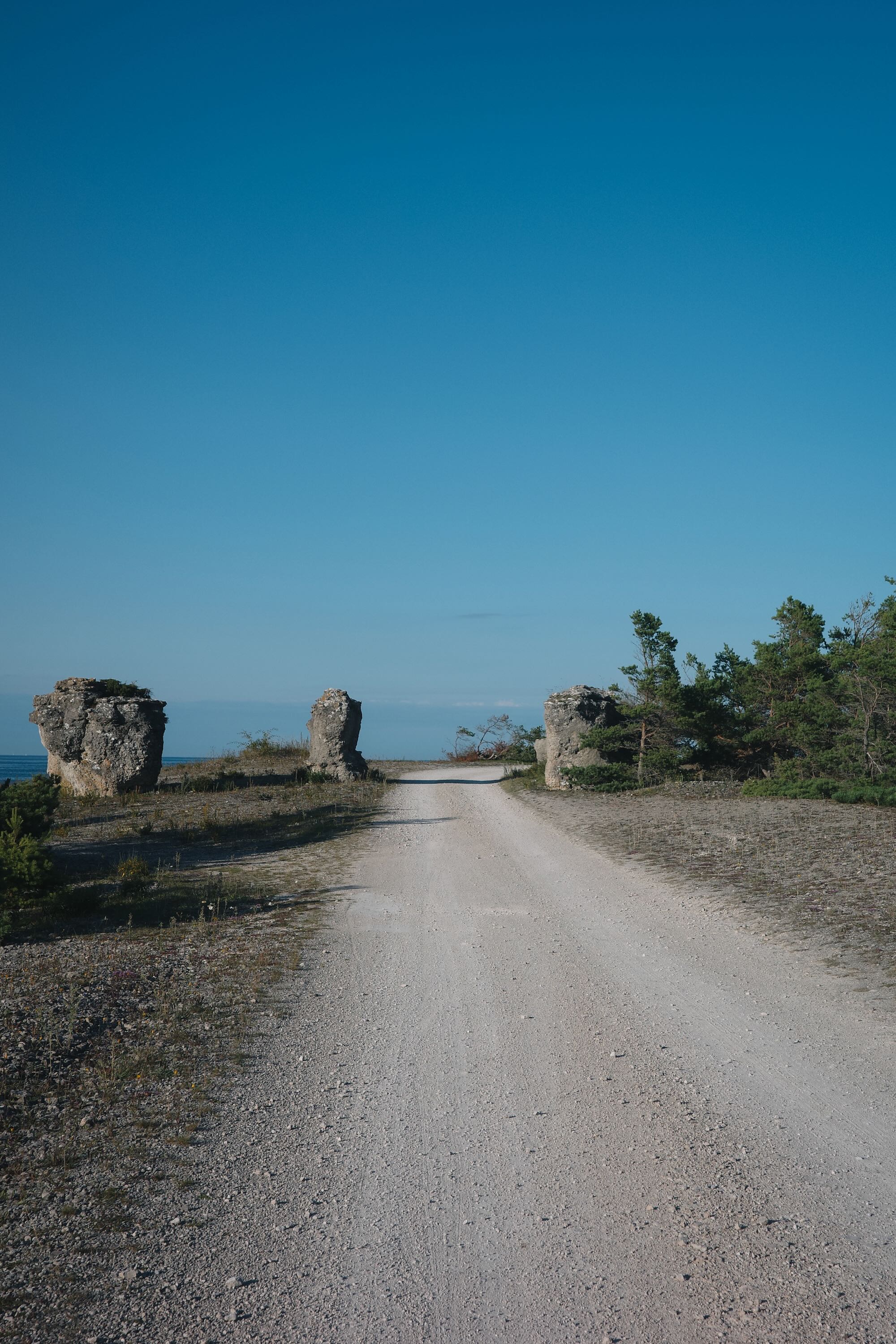
The north — Fårö and the silence of rock
The small ferry to Fårö takes seven minutes and costs nothing for bikes. The island is where Ingmar Bergman lived for the last decades of his life, and it wears that association without trying: stone fields, old fishing sheds the colour of dried blood, a horizon that feels closer than it should.
The raukar — limestone sea stacks worn by millennia of Baltic weather — stand in groups along the northern coast like an audience watching something that already happened.
We didn’t get to cross as we didn’t research enough apparently. Don’t make the same mistake.
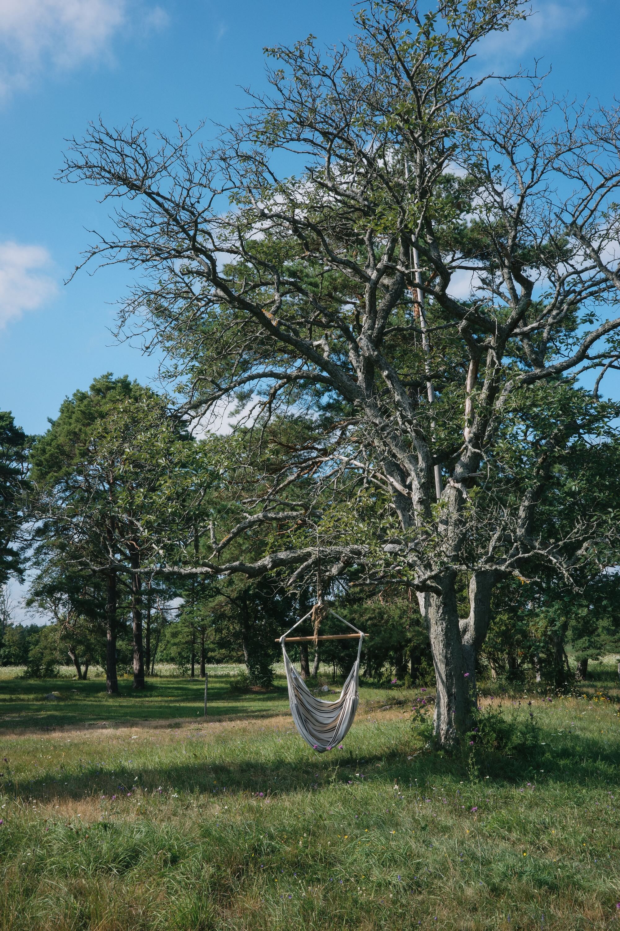
The south — meadows, mead, and medieval
Southern Gotland changes register entirely. Smaller farms, older churches — there are over 90 medieval churches on the island — and roads through forests of pine and birch that narrow to single track in places.
The logistics
The ferry from Oskarshamn takes around three hours, while the one from Stockholm (Nynäshamn) takes roughly five. Book in advance in July and August. Camping is plentiful. The Swedish right of public access (allemansrätten) means you can also pitch almost anywhere that isn’t fenced private land. Resupply every 20–40 km throughout.